 |
 |
 |
 |


The LMS Analyst
Extension
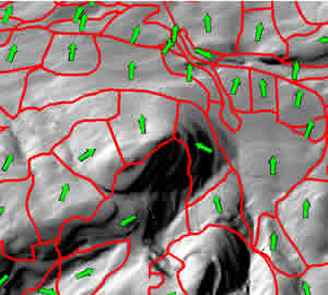
The LMS Analyst extension was created to update polygon-level landform attributes for forest stands. The analyst computes mean elevation, slope, and aspect on a stand-by-stand basis. The analyst needs an ArcInfo polygon coverage or ArcView shapefile representing forest stands (or other polygons) as well as an ArcInfo format grid representing elevation (or other Z-value). Caveat: Needs ArcView 3.2 and the Spatial Analyst Extension Loading the LMS Analyst Extension How to use the LMS Analyst Extension: Zonal Mean Analyst Landscape Management System Home Page
|


